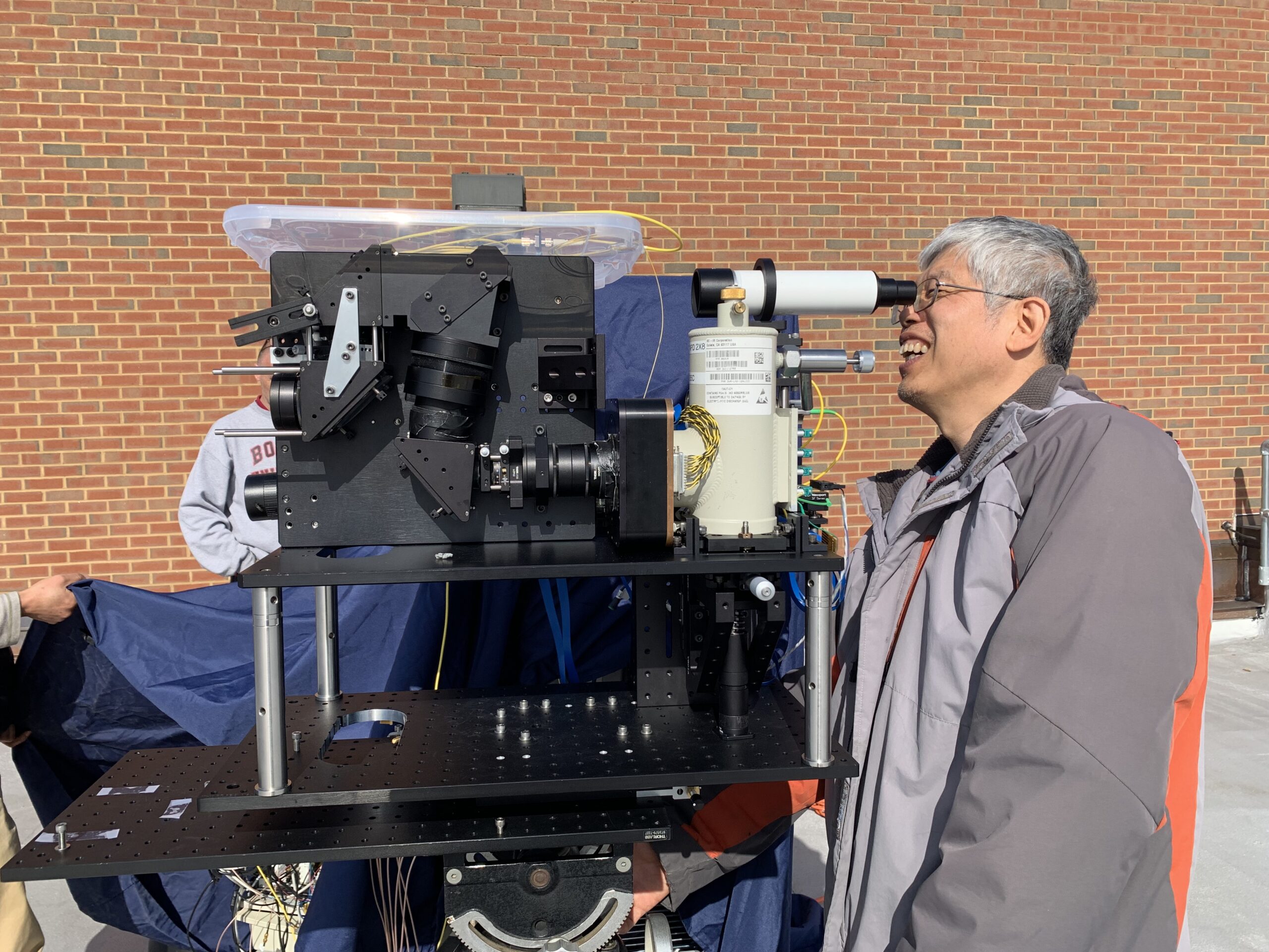
A NASA technology update published on October 21, 2026, describes progress toward a lidar instrument that could map continuous strips of terrain rather than widely separated tracks. Called CASALS, the system remains an airborne prototype, with more development required before a space-ready version can be built.
The new update reports that flights in November 2024 collected useful scientific measurements. At roughly five kilometres altitude, the instrument achieved 22-centimetre horizontal resolution. The next planned campaign is ASCENT in summer 2027. Before pursuing a space version, researchers intend to widen the mapped strip and add onboard processing.
Steering with colour instead of moving mirrors
Lidar measures distance by timing the return of reflected laser light. NASA’s earlier explanation of the technology describes the central CASALS approach: rapidly change a laser’s wavelength so that light leaves the transmitter in different directions. A sequence of pulses then sweeps the landscape without requiring a separate beam for each direction.
That design tackles a practical spacecraft constraint. An instrument’s mass, volume and power demands affect which missions can carry it. Reducing those requirements can be as important as increasing measurement precision, particularly for small spacecraft. The same development programme has considered uses beyond Earth mapping, including navigation and autonomous landings on other worlds. Those remain potential applications rather than demonstrated operational services.
A broader instrument-development effort
A 2024 Goddard account places the work in a wider effort combining efficient transmitters and receivers, wavelength steering, multispectral imaging and artificial intelligence. Researchers want future instruments to make some observing decisions without waiting for instructions from Earth. The intended Earth-science applications include ice and land topography and coastal change.
The October update therefore offers a development milestone and a route forward, rather than the announcement of a new satellite mission. The distinction matters when reading impressive resolution figures: the reported measurements came from an aircraft, while performance and readiness in orbit still need to be established.
Engineer Jeffrey Chen tests a lidar prototype at NASA Goddard. This archival photograph accompanied a November 2024 account of the CASALS team’s work. Credit: NASA. Image source.
Leave a Reply