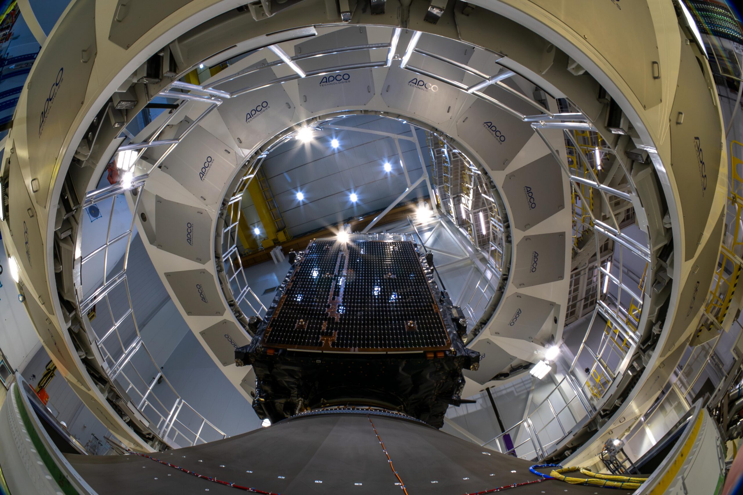
MTG-I2 during encapsulation at Europe’s Spaceport on 21 August 2026, before launch. Photo: ©ESA – M. Pédoussaut. Image source.
Europe’s newest weather imager has begun showing what a faster view of the atmosphere can reveal. ESA released the first MTG-I2 imagery on 6 November 2026, previewing a satellite service designed to revisit Europe and North Africa every two and a half minutes.
The release includes a 45-hour sequence beginning on 3 November. It shows persistent fog over central Europe, developing Mediterranean clouds and a wildfire smoke plume in Portugal. The rapid regional coverage will complement the first MTG Imager’s ten-minute views of a full Earth hemisphere.
There is an important commissioning step still ahead. MTG-I2 remains in calibration and validation, with operational service expected in the second quarter of 2027. The pictures demonstrate emerging capability, rather than announcing that the new service is already part of routine forecasting. ESA’s first-images announcement sets out that distinction.
From launch to a working observatory
The new release follows an orbital handover that ESA described in September. After separating from its Ariane 6 launcher, MTG-I2 needed a sequence of engine burns to reach its geostationary position at 3.5 degrees east. Teams also deployed antennas and turned the satellite toward Earth before commissioning could begin.
EUMETSAT took over the spacecraft on 8 September. Its existing companions are MTG-I1, launched in 2022, and the MTG-S1 sounder, launched in 2025. An industrial team led by Thales Alenia Space, working with OHB and Leonardo, developed the constellation with ESA and EUMETSAT. EUMETSAT operates the system. ESA’s orbital-arrival account explains the work between launch and instrument checkout.
Why the time between pictures matters
The practical significance of the faster cadence is easiest to understand as a sampling problem. A single image records a situation; successive images reveal how that situation changes. Shortening the gap gives forecasters more opportunities to distinguish growth, movement and dissipation. That is particularly relevant when the subject of interest is evolving within a larger cloud field.
It also helps explain why regional and hemispheric observations serve different purposes. A broad view supplies context, while frequent revisits concentrate attention on a smaller area. The two products can be complementary without offering identical coverage or timing.
The next test of this promise will be the completed operational service. Attractive first images are a useful milestone, but users ultimately need dependable measurements, repeatable processing and a clear understanding of data quality. For now, the release provides an early look at the pace of observation Europe is preparing to add.
Leave a Reply