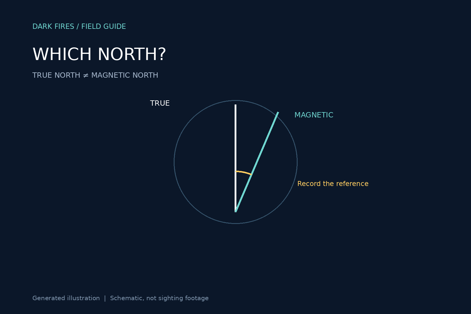
Two witnesses can report different compass directions while looking at the same part of the sky. Before drawing intersecting sight lines on a map, a UAP investigation needs to answer a deceptively small question: what did each person mean by north?
True north is not magnetic north
NOAA’s magnetic-declination guide defines declination as the angle between magnetic and true north. The correction varies with location and time. A magnetic compass responds to the local magnetic field; it is not simply an arrow pointing toward one fixed spot on a map.
NOAA uses positive values for easterly declination and negative values for westerly declination. With that convention, true bearing equals magnetic bearing plus declination, wrapping the result into the 0–360-degree circle. In a purely hypothetical example, a magnetic bearing of 80 degrees at a place with 10 degrees east declination becomes 90 degrees true. This is arithmetic illustrating the convention, not a correction for any real sighting.
The date belongs with the correction
The USGS explanation of declination notes that a topographic map’s declination information applies to the map’s stated location and year. An old map margin is therefore not automatically the right correction for a recent report. NOAA provides a location-and-date declination calculator for a more explicit estimate.
A phone readout adds a separate documentation problem. The investigator should record the app, its north-reference setting and the displayed number rather than infer the setting from the word “compass.” If a bearing was already expressed relative to true north, adding declination again creates a new error. A measured bearing should also not be silently substituted for a witness’s rough description such as “northeast.”
Keep the original and normalized values
Our suggested reporting format has six fields: original bearing; stated reference; observing location; date and time; correction source; normalized true bearing with uncertainty. If the reference is unknown, label it unknown. Retain that ambiguity rather than manufacture precision.
For example, an analyst might preserve “about east, visual estimate” as testimony while separately recording “92 degrees true, reconstructed from a surveyed landmark.” Those are different kinds of evidence. They should not appear as two equally precise instrument readings.
A declination correction addresses a reference-system mismatch. It does not remove local compass interference, poor calibration, an uncertain observer position or an imprecise line of sight. Nor does it tell us what the object was. Its value is narrower: it prevents avoidable directional disagreement from being mistaken for extraordinary motion or conflicting testimony.
Featured image: original Dark Fires schematic. Generated illustration; not an observation or sighting photograph.
Leave a Reply