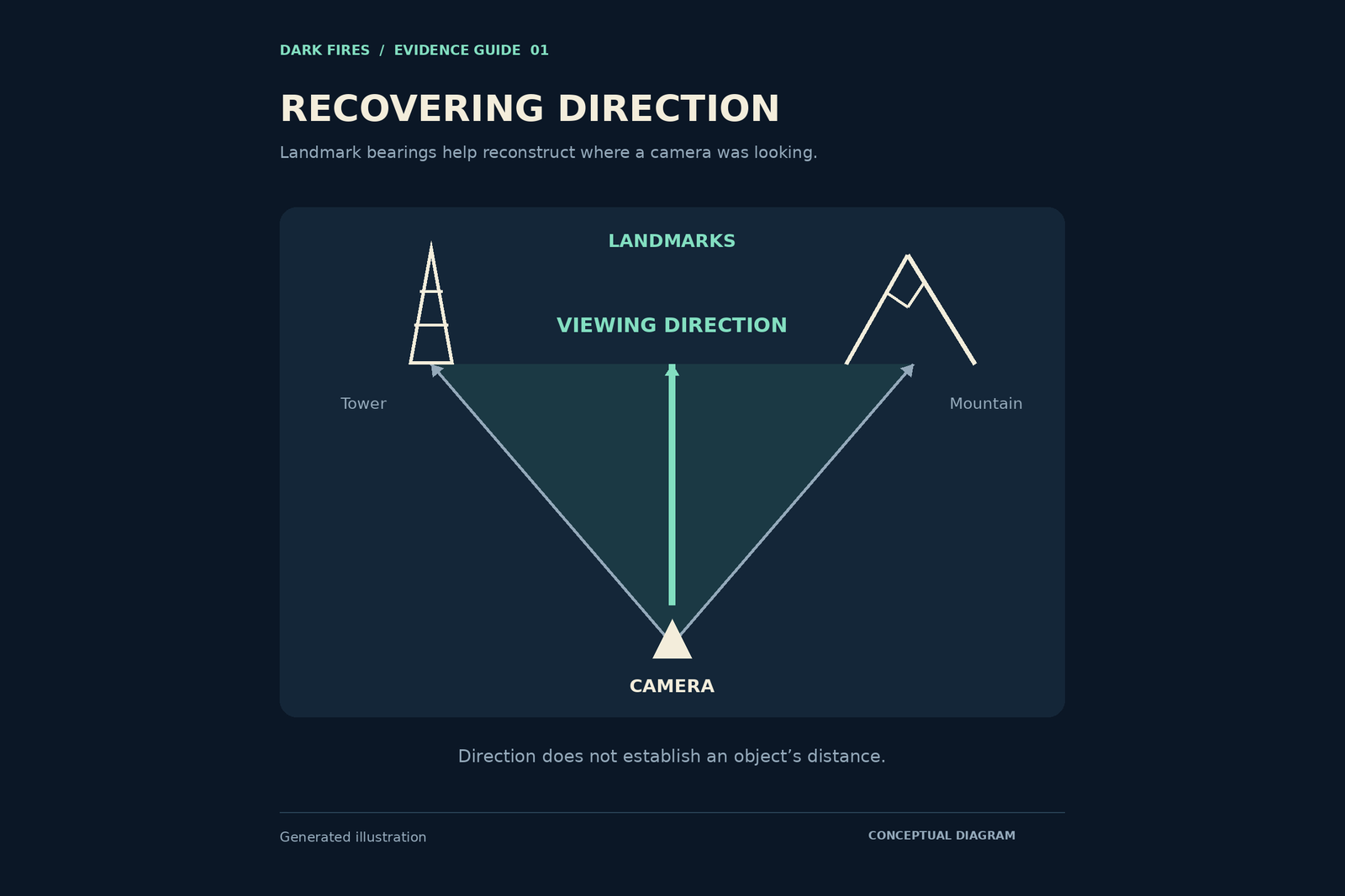
A sky video becomes easier to investigate when its viewing direction is anchored to the landscape. “Facing west” is useful background, but a recognizable tower, ridge or road junction can support a more specific reconstruction. The aim is to establish where the camera stood and which part of the sky it recorded, without pretending that this alone locates the airborne object.
Start with the ground
Choose a frame that includes the widest available view of permanent features. List them before opening a map: a roofline, a summit, a communications mast, the bend of a shoreline. Avoid treating a cloud, parked vehicle or temporary crane as a dependable reference.
Compare several features together. One triangular mountain or rectangular building is rarely enough. Look for the same left-to-right order, overlapping silhouettes and relationship to nearby roads. A proposed camera position should explain the whole arrangement, not just the landmark that first caught your attention.
USGS explains that topographic maps use contours to describe terrain. These can help distinguish a plausible ridge from another with a similar outline. They are a starting point for checking the scene, rather than proof of an exact viewpoint.
Separate position from direction
Mark the likely filming position and each identified landmark on a map. Record why you chose that position, including any uncertainty about which side of a road, building or lookout the camera occupied. Draw a line from the camera position toward a securely identified feature. That line provides a geographic reference direction.
If the unusual light appears directly above the feature, you have a useful approximate alignment. If it lies between two landmarks, report that bracket unless you have a justified camera calibration. Do not convert a horizontal fraction of the image into an exact bearing merely because the arithmetic is easy.
Ask which north was used
Compass readings and map bearings need a common reference. USGS distinguishes true north, magnetic north and grid north. A quoted heading without that information may be ambiguous.
NOAA’s magnetic-declination guidance explains that the correction changes with location and time. Using its convention, add east-positive or west-negative declination to a magnetic bearing to obtain a true bearing. First check whether the device already displayed true north, so that you do not apply the correction twice.
Publish a reconstruction someone can check
Save the reference frame, marked map, landmark names and bearing convention. Separate confirmed matches from tentative ones. If a rooftop could match two locations, show both possibilities rather than quietly choosing the more convenient result.
The final statement might read: “The camera appears to face between the church tower and the eastern ridge, based on three matching foreground features.” That is more reproducible than a confident compass direction with no explanation. It also leaves the object’s distance, identity and altitude as separate questions.
Generated illustration
The featured diagram is a conceptual viewing-direction example, not a reconstruction of a particular sighting.
Leave a Reply