Sixty years after Gemini XII, one part of its legacy points toward Earth rather than the Moon. In a November 13, 2026 historical feature, NASA revisited how astronaut photography helped build the case for dedicated Earth-observing satellites.
James Lovell and Buzz Aldrin flew the final Gemini mission from November 11 to 15, 1966. Their November 14 photograph of the Red Sea and Nile valley is an example of the orbital views scientists could use to study the planet’s surface. The mission also tested rendezvous and spacewalking procedures needed for lunar exploration.
From striking view to scientific instrument
NASA identifies US Geological Survey director William Pecora as a leading advocate. In 1969, he credited the demonstrated usefulness of Mercury and Gemini photography with helping inspire the Earth Resources Observation Satellite program in 1966. That initiative helped pave the way for Landsat.
This is a historical connection, not a claim that one photograph created an entire satellite program. Its significance is the change in purpose: photographs from orbit could become evidence for studying land, water and environmental change, rather than simply records of an astronaut’s journey.
Source: NASA History Office, November 13, 2026.
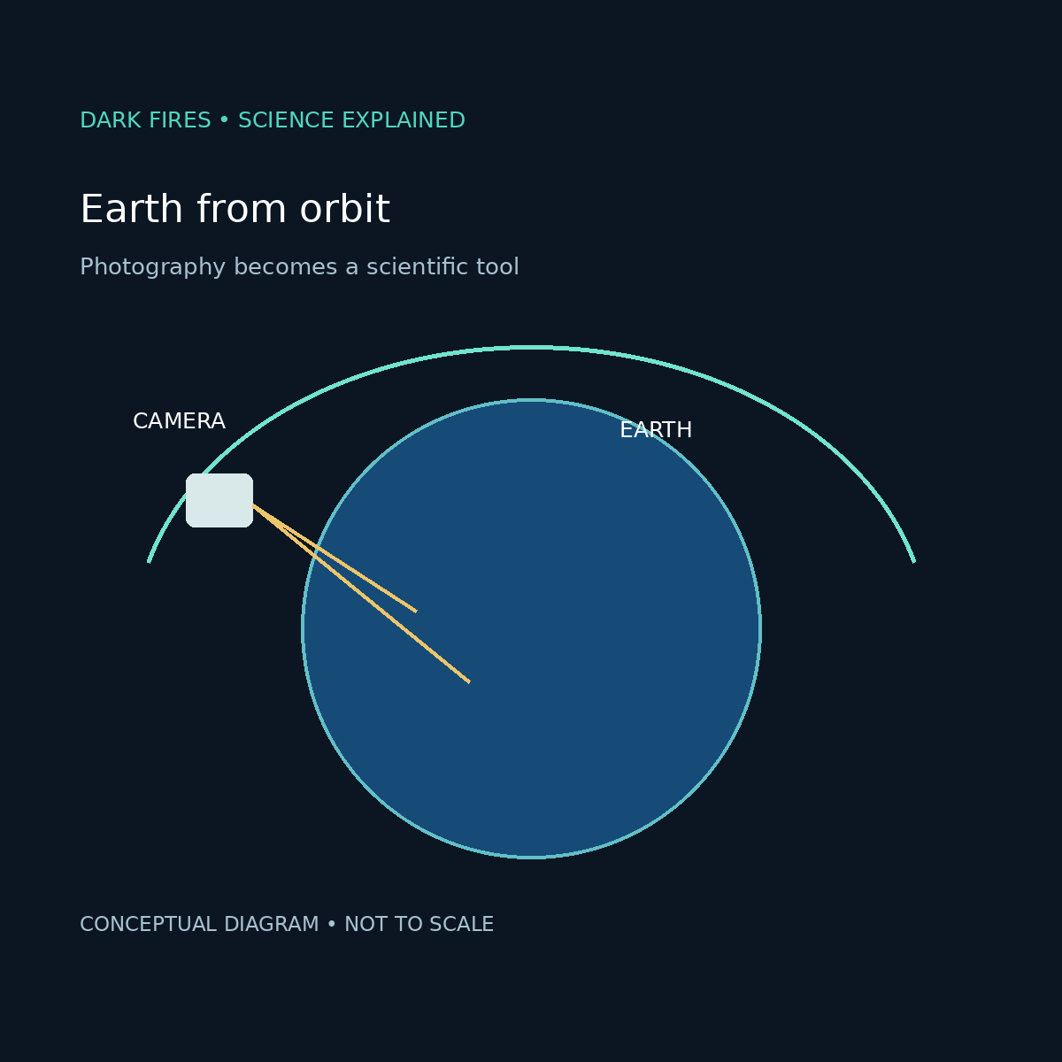
Generated illustration. Original Dark Fires explanatory diagram, not a Gemini photograph; not to scale.
Leave a Reply