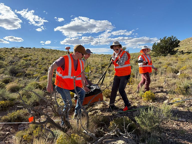
The layers thrown out of an impact crater do not end where the crater rim does. In September, NASA’s Goddard Instrument Field Team went to Meteor Crater in Arizona to test ways to trace some of that debris underground. In a November 19 account of the fieldwork, NASA described researchers setting out seismic detectors and striking the ground to generate vibrations. They also examined the area using hyperspectral imagers and a handheld spectrometer. The aim is to learn how far the ejecta blanket extends and how its layers are arranged.
Another stop on the trip asked a different question: how do you characterize a lava tube without relying on an overhead view? In Arizona’s Lava River Cave, researchers took temperature and humidity readings along the tunnel and tested rock hardness at intervals. Those measurements give researchers a way to practice gathering useful data at a potential analogue for caves on the Moon or Mars.
The useful result is a field protocol researchers can compare with a landscape they can physically inspect. A seismic signal can indicate a buried boundary, while comparisons with exposed rock and other measurements help determine what that boundary means. NASA says the team is moving on to lab follow-up and analysis. The Arizona expedition did not map a lunar cave or establish the structure of any Martian crater.
Source: NASA Goddard’s Arizona field report and photographs.
Featured image: Ground-penetrating radar fieldwork near Meteor Crater, Arizona, September 2026. Photo: NASA/Caela Barry.
Leave a Reply